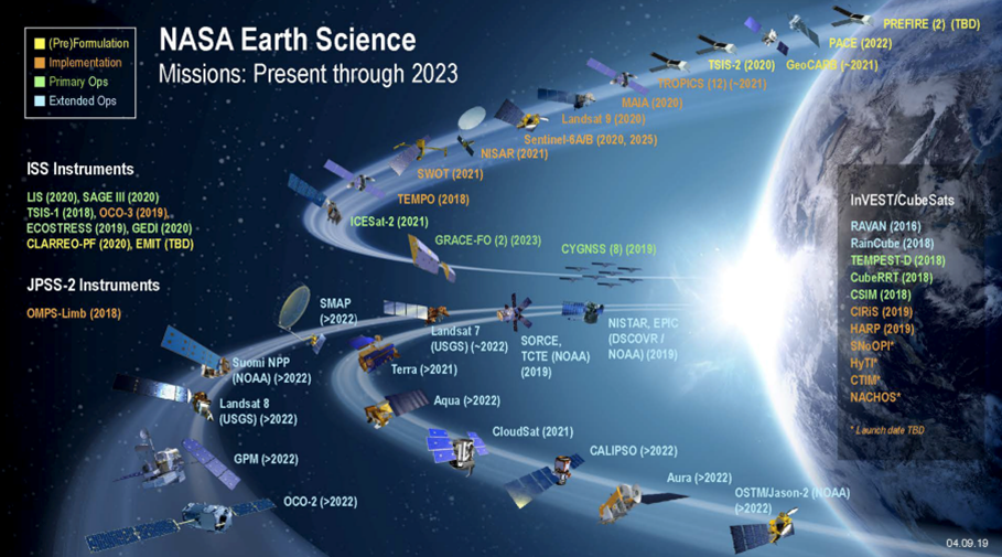
In the 1960s, NASA began launching satellites to monitor Earth’s weather. Today, NASA operates dozens of missions involving space-based observation to monitor the conditions here on Earth. NASA’s Earth Science Technology Office (ESTO) Advanced Information Systems Technology (AIST) program envisions future missions that are able to share, analyze, synthesize, and automate data gathering operations. This sharing of information across multiple platforms – from global flagship missions to localized ground based sensor networks – will give new insights on the state and changing nature of our planet. This vision has led to the New Observing Strategies (NOS) thrust within AIST, an approach designed to develop the concepts and architecture that will enable this data sharing and improved capability.
Dr. Paul Grogan, Stevens Institute of Technology, leads the SERC task for the NOS Testbed (or NOS-T). NOS-T is an enterprise information system that will allow NASA to test, evaluate, and mature technology for NOS concepts. NOS-T will be used to validate new technologies and demonstrate novel end-to-end concepts. This will enable increasing technology and system readiness levels and also be a mechanism for socializing new concepts with the scientific community.
“The main challenge and opportunity is that we are engaging directly with Earth Science investigators. These are scientists who are studying Earth’s processes working with the engineers who are responsible for architecting and developing new hardware, sensors, and satellite platforms. The test bed has to be accessible to this user population, balancing technical demands of a test bed and secure information exchange with usability challenges,” said Grogan.
Current and proposed NOS concepts as illustrated by NASA[1] are shown below. The NOS will integrate information from a variety of sources to come together to give new insights with the goal of eventually helping to automate decisions about operations. An example of what this could look like in practice is an instance of flooding: lower-resolution government satellite images detect flooding and that data is compared with ground-based sensors that confirm flood conditions. This analysis could trigger higher-resolution commercial satellites to gather new imagery in that area to support scientific analysis or even disaster response. Currently, this is a manual process, but the NOS would enable automation of some analysis and triggers, which would improve data gathering and response times.
Version 1 of NOS-T will be released in early 2022 as an open source resource with a supporting tools library. This will be accompanied by an ICD – an interface control document that explains the protocol and actions required to utilize the NOS-T.
Continuing work on NOS-T in 2022 is focused on demonstrating new technology on the testbed. Pilot data will be used to improve the NOS-T, with a Version 2 planned for release in August 2023 that will add capabilities and incorporate feedback from the user community.
For further information on NOS-T or if you are interested in using NOS-T to pilot technology, please contact Dr. Paul Grogan.
[1] https://ntrs.nasa.gov/api/citations/20190028350/downloads/20190028350.pdf


